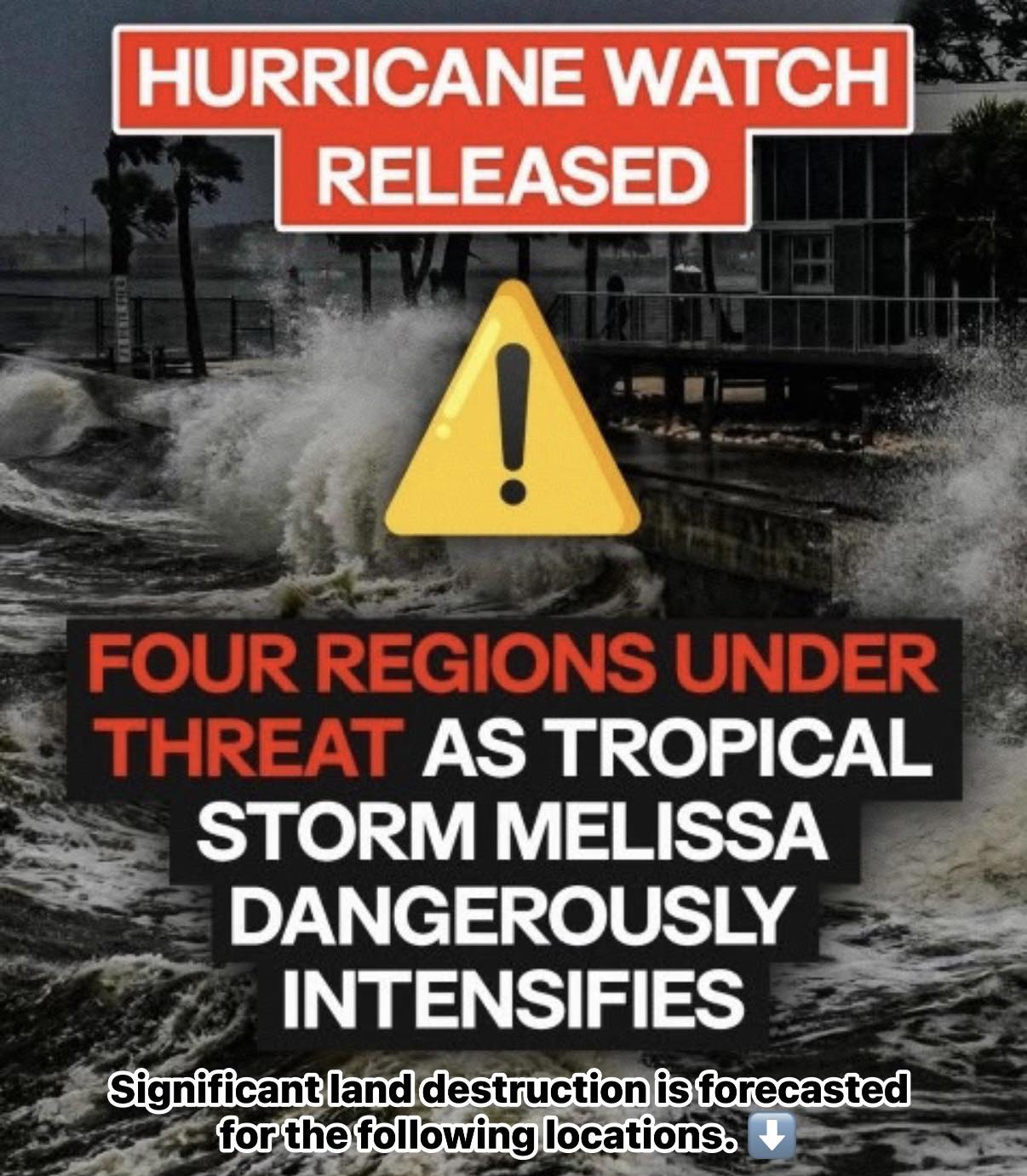
A growing threat is forming over the Caribbean. Tropical Storm Melissa is gathering strength, and forecasters warn it could reach hurricane status in days. Communities are preparing as officials urge residents to stay alert.
Current Location and Movement
At 2 a.m. EDT, the National Hurricane Center (NHC) reported Melissa’s center at latitude 14.2° N, longitude 74.0° W, about 325 miles south-southwest of Port-au-Prince, Haiti. The storm moves west at 12 mph with winds of 50 mph and central pressure of 1003 millibars.
Melissa is expected to slow before turning northwest, then north later this week. If this track holds, the storm may approach Jamaica and southwestern Haiti by Thursday or Friday. Meteorologists predict it could strengthen into a hurricane within 48 hours.
Expected Impacts
Melissa may bring:
-
-
5–10 inches of rain to southern Haiti and the southern Dominican Republic, with isolated higher amounts.
-
-
4–8 inches to eastern Jamaica.
-
2–4 inches to northern Haiti and the northern Dominican Republic.
-
1–3 inches to western Jamaica, Puerto Rico, and Aruba.
Heavy rain could trigger flash floods, urban flooding, and landslides, especially in mountainous regions. Tropical-storm-force winds already stretch 140 miles from the center, creating hazardous seas across the northern Caribbean.
Watches and Warnings
-
Hurricane Watch: Southwestern Haiti from the Dominican Republic border to Port-au-Prince.
-
Tropical Storm Watch: Jamaica, indicating possible storm conditions within 48 hours.
Cuba and the Dominican Republic remain outside official warnings but lie within the forecast cone. Residents should monitor updates closely and prepare for worsening conditions.
U.S. Threat Assessment
Direct impacts on the U.S. mainland remain unlikely, though rough surf and rip currents could affect the East Coast next week. If Melissa delays its northward turn, Florida, Cuba, and the Bahamas may experience stronger winds and rain.
Late-season hurricanes are uncommon but not impossible. Recent storms like Hurricane Nicole (Nov. 2022) and Hurricane Zeta (Oct. 2020) prove that threats can persist well into the fall. The Atlantic hurricane season ends November 30.
Lessons from Hurricane Erin
In August 2025, Hurricane Erin stayed offshore yet caused major coastal impacts.
-
Strong offshore winds: 25–30 knots (29–35 mph), gusts up to 40 knots (46 mph).
-
High waves: 12–18 feet hitting Virginia, North Carolina, and Maryland.
-
Tidal anomalies: 2.5 feet above normal in Chesapeake Bay, causing flooding.
Though Erin caused no rainfall or tornadoes, the wide wind field and tidal surge created serious coastal damage. Authorities responded swiftly, with NOAA and NWS briefings, rip current alerts, and port restrictions, minimizing further harm.
Key Takeaways
-
Tropical Storm Melissa may become a life-threatening hurricane soon.
-
Rainfall and winds could trigger flooding, landslides, and coastal hazards.
-
Residents in affected regions should prepare early, monitor updates, and follow official guidance.
-
Historical storms remind us that even offshore hurricanes can create dangerous coastal conditions.